
Pretty cool. Or hot. Kinda both. Your choice.
Chris and Rachel Powers were ready for their second drive of the day when they parked outside a bakery in Houston’s East End. They cracked the passenger-side window of their Audi and fastened a thermal sensor to it.
“It’s science in motion,” Chris said as the couple began driving their route at 3 p.m. sharp.
The Powers participated in a community-led project by the Houston Harris Heat Action Team, or H3AT, which deployed more than 100 volunteers to find Houston and Harris County areas most susceptible to the urban heat island effect. The volunteers drove on predetermined routes throughout the city and county at three different times of day: from 6-7 a.m., 3-4 p.m., and 7-8 p.m.
According to the H3AT, volunteers covered 1,261 miles across Houston and Harris County, making it the largest heat-mapping campaign in Texas and the United States.
The campaign’s organizers were looking deeper into how Houston is affected by the urban heat island effect, a phenomenon in which areas of the city become hotter because natural landscapes, such as trees, vegetation and soil, are being replaced with artificial materials that absorb heat, such as concrete and paved surfaces.
Hotter temperatures can worsen air quality, cause higher electricity bills, and increase the risk of deadly heat-related illnesses. Houston was ranked as the fourth-worst urban heat island in the country by Climate Central, a nonprofit climate watchdog group.
H3AT previously completed a heat-mapping campaign in 2020. Saturday’s campaign was intended to be more comprehensive and focus on lower-income communities, which research shows are more susceptible to the urban heat island effect than wealthier neighborhoods.
“This isn’t our first rodeo,” said Meredith Jennings, the senior program manager of the Houston Advanced Research Center. “We learned a lot from that first campaign, it helped us identify several places where we wanted to do tree-planting events. We were only able to go so many places in 2020, so this is an opportunity for us to replicate that effort and expand it so that we can use this data in more places.”
The Houston Advanced Research Center, and its partner organizations, was awarded $15 million from the U.S. Department of Agriculture’s Forest Service last year to increase tree canopy — the layer of tree leaves and branches that provide shade — across Houston and Harris County. The grant is part of a five-year program to assess and monitor urban tree canopy, conduct another heat island mapping campaign, provide youth employment, water and maintain tree plantings, and create jobs for urban and community forestry.
Although tree canopy is typically considered a remedy for the urban heat island effect, Harris County’s overall tree canopy shrank by almost 10% between 2011 and 2021, according to federal satellite data analyzed by Rice University’s Kinder Institute. Recent severe weather events, like the May 16 derecho and Hurricane Beryl last month, also uprooted many trees across the region.
[…]
The results of H3AT’s 2020 campaign measured a 17-degree difference from the map’s coolest to the hottest areas in the afternoon. It also found that areas closer to the coast receive more of a coastal breeze than areas closer to downtown or with a high concentration of buildings.
“That’s where the urban heat island effect really takes place,” Jennings said. “By expanding this campaign, we can have even more of that effect. We’re going more north and west than we did the first time.”
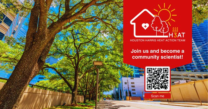
This is also cool for me because Chris and Rachel Powers are friends of ours and it’s always nice to see your friends in the news like this. You can go to the H3AT homepage to learn more, including other recent coverage of this effort. Learning about where the hot spots are in more detail will inform how to mitigate them – planting trees is an obvious means to that end but not the only one. Looks like this event was a one-timer, but I suspect there will be future opportunities. The Houston Advanced Research Center has more.